
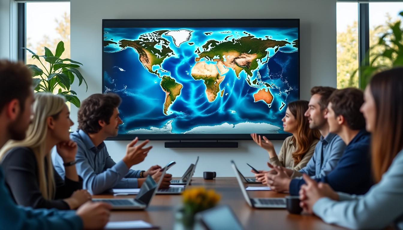
À l'occasion de son 20e anniversaire, Google Earth a considérablement évolué, allant au-delà d'un simple outil de navigation, intégrant l'historique Street View et des fonctionnalités d'IA innovantes qui révolutionnent l'exploration géospatiale. Avec plus de deux milliards de recherches rien que l'année dernière, la plateforme continue de servir les professionnels et les passionnés en visualisant l'évolution au fil du temps grâce à l'imagerie satellite, la cartographie 3D et la réalité virtuelle. Les récentes mises à jour offrent aux utilisateurs de puissants outils pour explorer l'histoire de la Terre et offrent aux urbanistes des outils de navigation performants. piloté par l'IA des informations, améliorant la prise de décision et l’innovation dans le domaine des technologies géospatiales.
La vue historique de Google Earth améliore l'exploration géospatiale
Depuis son lancement en 2005, Google Earth a révolutionné la façon dont nous interagissons avec notre planète grâce à une cartographie complète et à l'imagerie satellite. Sa nouvelle fonction Street View historique, désormais accessible directement dans Google Earth, permet aux utilisateurs d'utiliser une fonction de "voyage dans le temps" pour examiner comment les villes et les quartiers se sont transformés au cours des deux dernières décennies.
- L'accessibilité au voyage dans le temps grâce à la couche "Imagerie historique" de Google Earth.
- Possibilité de basculer entre les images Street View actuelles et passées à l'aide d'une flèche directionnelle.
- Visualisation de la croissance urbaine, de la dégradation et des changements environnementaux dans les principales villes du monde.
Cette extension s'appuie sur la fonctionnalité existante de Google Maps et amplifie le rôle de la plateforme dans la fourniture d'une perspective stratifiée et dynamique de l'évolution géospatiale de la Terre.
Cas d'utilisation et impact sur la planification urbaine et la recherche environnementale
Les professionnels du développement urbain et des sciences de l'environnement peuvent exploiter les vues historiques des rues pour analyser avec précision les changements temporels. La nouvelle fonctionnalité prend en charge :
- Suivre l'étalement urbain et l'évolution des infrastructures pour mieux planifier les villes.
- Suivi des changements environnementaux tels que la déforestation ou les zones touchées par les catastrophes naturelles.
- Études archéologiques révélant d'anciennes structures et des modifications de l'habitat.
En intégrant ces données à des informations alimentées par l'IA, Google Earth permet une compréhension nuancée des transformations du paysage qu'il était auparavant difficile de visualiser de manière exhaustive.
L'intelligence artificielle propulse Google Earth vers l'innovation en matière de cartographie avancée
La dernière mise à jour introduit des fonctionnalités d'IA destinées principalement aux utilisateurs professionnels, soulignant l'engagement de Google à faire progresser les solutions cartographiques basées sur la technologie. Les nouvelles fonctionnalités d'IA sont les suivantes
- Analyse de la couverture du couvert végétal pour évaluer efficacement les espaces verts urbains.
- Les cartes thermiques illustrent les variations de la température à la surface des terres, ce qui facilite les études climatiques et la surveillance de l'environnement.
- Traitement amélioré des données géospatiales pour la précision dans les scénarios de réalité virtuelle et l'analyse de l'imagerie satellitaire.
| Fonctionnalité | Cas d'utilisation | Bénéficiaire | Disponibilité |
|---|---|---|---|
| Couverture du couvert végétal | Évaluation des espaces verts urbains | Urbanistes, environnementalistes | Déploiement pour les utilisateurs Pro |
| Cartes thermiques des températures de surface | Changement climatique et surveillance de la conservation | Chercheurs, décideurs politiques | Déploiement pour les utilisateurs Pro |
| Analyse de l'imagerie satellitaire améliorée par l'IA | Amélioration de la précision des données géospatiales | Chercheurs, professionnels de la cartographie | Immédiate |
Ces innovations renforcent le leadership de Google Earth dans le domaine de la cartographie en réalité virtuelle et démontrent son utilité au-delà de l'imagerie satellitaire traditionnelle, en fournissant des données à l'appui d'initiatives urbaines et environnementales durables.
L'intégration de l'IA et de la réalité virtuelle améliore la technologie géospatiale
La fusion de l'IA et de la réalité virtuelle sur Google Earth améliore l'expérience des utilisateurs et les analyses professionnelles :
- Exploration immersive de données spatiales à des fins éducatives et de recherche.
- Simulations géospatiales personnalisées pour la planification de scénarios dans les projets de développement.
- Intégration efficace avec des plates-formes de données tierces, optimisant la précision de la cartographie et la facilité d'utilisation.
Cette synergie technologique offre une plateforme de pointe à ceux qui s'intéressent à l'innovation GPS de pointe, à l'analyse urbaine et à la modélisation environnementale.
L'évolution de Google Earth : Tirer parti de la technologie pour la cartographie et au-delà
De l'aide apportée aux interventions en cas de catastrophe après l'ouragan Katrina à l'outil indispensable aux chercheurs du monde entier, la trajectoire de Google Earth témoigne de la puissance de l'innovation dans le domaine des technologies géospatiales. L'intégration poussée de Street View, de l'imagerie satellitaire et de l'intelligence artificielle a facilité la mise en œuvre de nombreuses applications révolutionnaires :
- Préservation du patrimoine numérique grâce à une cartographie temporelle détaillée.
- Surveillance environnementale en temps réel couplée à une analyse des données historiques.
- Amélioration des stratégies juridiques et marketing grâce à des données précises basées sur la localisation, soutenant les efforts de référencement spécialisés tels que SEO local pour les avocats et marketing numérique pour les cabinets d'avocats.
Ses progrès continus garantissent que Google Earth reste essentiel dans les sphères professionnelles exigeant une précision géospatiale, avec l'appui d'une expertise externe telle que agences professionnelles de référencement l'optimisation de la visibilité en ligne pour les services basés sur la localisation.
Explorer les possibilités futures avec Google Earth et les technologies de cartographie
À mesure que la technologie géospatiale progresse, Google Earth se positionne à l'avant-garde de l'innovation en adoptant continuellement de nouvelles technologies :
- Intégration transparente avec les nouvelles technologies innovations en matière de smartphones pour améliorer les capacités de cartographie mobile.
- Solutions avancées de marketing et de publicité sur Google par le biais du ciblage géographique, en aidant les clients à Annonces marketing de Google stratégies.
- Expansion des partenariats avec les revendeurs afin d'étendre l'accès géographique et technologique, une fonction soutenue par des experts de l'Union européenne. Revendeurs SEO.
Cette perspective stratégique garantit la pertinence et l'adaptabilité durables de Google Earth dans un paysage technologique en évolution rapide.